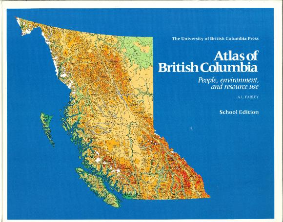
Atlas of British Columbia: People, environment, and resources use
Library Item
The Atlas of British Columbia is the first major cartographic study of the province to be published since 1956. Created through close co-operation between government, the private sector, and the university, it is the successor to the British Columbia Atlas of Resources which, for twenty years, has been the standard reference work used by schools, industry, government, and the general public.
The most recent data available have been used to give an accurate, comprehensive picture of British Columbia's economy as it is today. Comparative studies show the development of the province's manpower and natural resources as well as the rapid growth of industry and technology since the beginning of the century. In party, the emphasis of the atlas reflects thousands of specific requests for up-to-date resource information recorded over the last ten years.
The most recent data available have been used to give an accurate, comprehensive picture of British Columbia's economy as it is today. Comparative studies show the development of the province's manpower and natural resources as well as the rapid growth of industry and technology since the beginning of the century. In party, the emphasis of the atlas reflects thousands of specific requests for up-to-date resource information recorded over the last ten years.
LIB.00260
Vancouver, BC : University of British Columbia Press
1979
0-7748-0092-5
Map, Print and published material
Geography
English
Media Room and Library
Do you have a comment, story, or something you would like us to know related to this item?
